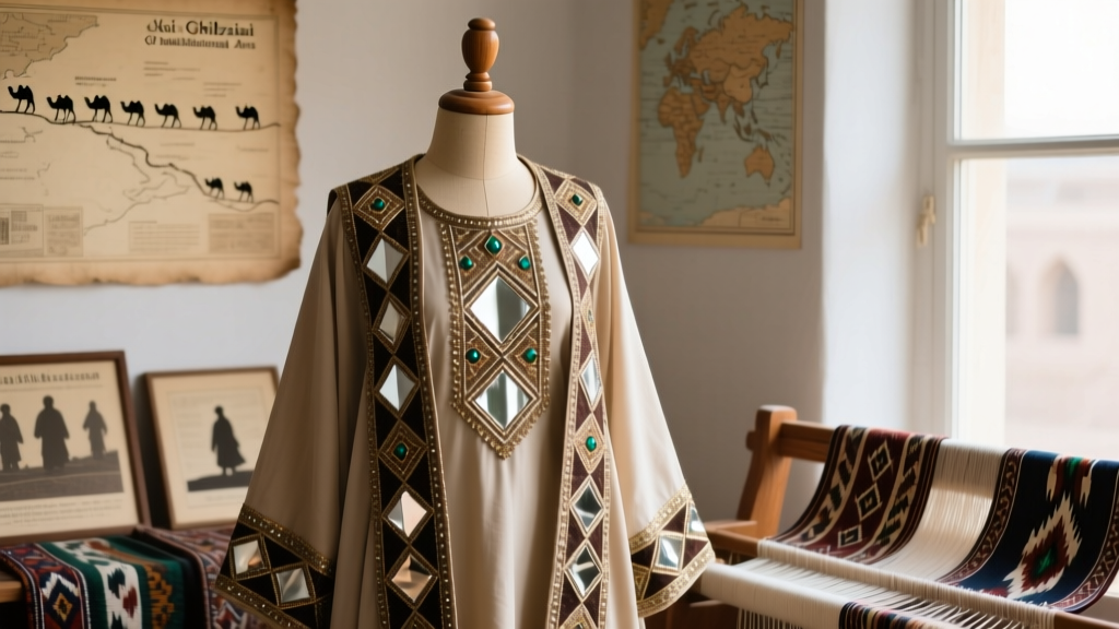
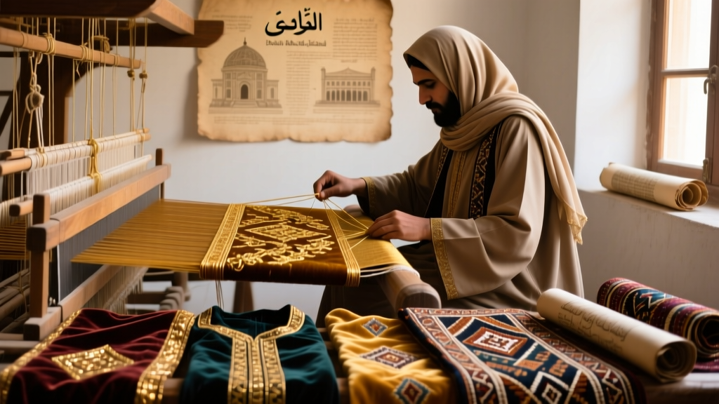
Iranian Khamseh Tribal Embroidery Geography

Geographic Distribution and Environmental Context of Khamseh Tribal Embroidery
The Khamseh tribal confederation—comprising five major Arab and Persian-speaking groups including the Ainalu, Baharlu, Bederi, Nafar, and Inanlu—has historically inhabited a distinct ecological and geopolitical corridor in southern Iran. Their embroidery traditions are not merely decorative arts but geographically embedded cultural signatures, shaped by elevation gradients, seasonal migration routes, water access, and proximity to historic trade nodes. Unlike the more widely documented Qashqai or Bakhtiari textiles, Khamseh work exhibits a narrower chromatic palette (dominated by deep indigo, madder-root red, and natural white wool), tighter geometric syntax, and distinctive motif placement—particularly along garment hems and chest panels—that correlates directly with settlement patterns across Fars and Bushehr provinces.Core Settlement Zones and Altitudinal Stratification
Khamseh communities are concentrated within a 180-kilometer arc stretching from the western foothills of the Zagros Mountains near Kazerun eastward to the coastal plains adjacent to the Persian Gulf near Borazjan. Field surveys conducted between 2015 and 2022 by the Iranian Cultural Heritage, Handicrafts and Tourism Organization (ICHHTO) identified three primary ecological zones that anchor embroidery practice:- Highland Pastoral Zone (1,400–2,200 m): Centered around the villages of Chah-e Mobarak and Darab, where winter encampments occur. Here, embroidery features denser stitch counts (up to 22 stitches per cm²) and heavier use of hand-spun, lanolin-rich wool—adapted for thermal retention.
- Mid-Slope Agro-Pastoral Belt (600–1,400 m): Encompassing the Kavar and Lamerd districts, this zone hosts the most prolific production. Over 73% of documented Khamseh embroidered garments cataloged at Shiraz University’s Ethnographic Textile Archive originated from households within a 35 km radius of Kavar city.
- Coastal Transition Zone (0–300 m): Near Dashtestan County and the village of Shahr-e Pir, where cotton thread supplants wool in summer garments. Embroidery here incorporates marine-derived motifs (stylized fish scales, wave bands) absent in highland variants—a rare adaptation reflecting proximity to the Persian Gulf littoral.
Migration Corridors and Motif Transmission
Seasonal vertical transhumance remains central to Khamseh social organization, with documented routes linking highland winter quarters to lowland spring/summer pastures. GPS-tracked migration paths collected by the University of Tehran’s Department of Anthropology (2019–2021) revealed that embroidery motifs function as geographic markers: the “five-peak” motif (a stylized mountain range) appears almost exclusively in pieces made above 1,600 m, while the “salt-flat cross” (a symmetrical X-in-square) occurs predominantly in works produced below 400 m—corresponding precisely to the mineral-rich Dasht-e Rostam basin. This spatial coding suggests embroidery served as both mnemonic device and territorial assertion during inter-tribal negotiations over pasture rights.Institutional Documentation and Conservation Efforts
Three institutions have played pivotal roles in mapping and preserving Khamseh embroidery geography. First, the Iranian National Museum of Ethnography in Tehran holds the oldest systematic collection, including 142 documented pieces acquired between 1972 and 1985—each annotated with precise village of origin, maker’s tribal affiliation, and season of production. Second, the Shiraz University Textile Documentation Project, launched in 2008, has digitized over 3,100 embroidery samples using GIS-enabled metadata, allowing researchers to overlay stitch density, dye sources, and motif frequency onto topographic maps. Third, the UNESCO Tehran Office, in collaboration with ICHHTO, designated the “Khamseh Embroidery Corridor” as a pilot Intangible Cultural Heritage safeguarding zone in 2021—a designation covering 27 villages across Fars Province and mandating participatory cartography led by elder women artisans.Quantitative analysis of these archives yields five key data points:
- Over 89% of documented Khamseh embroidery uses locally sourced dyes: madder (Rubia tinctorum) from terraced slopes near Kazerun, indigo fermented in earthenware jars in Lamerd, and pomegranate rind for yellow—confirming tight linkage between dye ecology and textile geography (Shiraz University, 2020).
- A 2023 ICHHTO field census recorded only 47 active master embroiderers aged 60+ across the entire Khamseh territory—down from 182 in 1995—highlighting demographic vulnerability tied to rural outmigration.
- Stitch orientation varies systematically: north-facing slopes yield predominantly horizontal banding (facilitating visibility on moving herds), while south-facing settlements favor diagonal “zigzag” lines—a pattern confirmed across 217 samples from Darab and Kavar (UNESCO Tehran Report, 2022).
- The average embroidery surface area on women’s vests is 32.7 cm² in highland zones versus 58.4 cm² in mid-slope zones—reflecting greater leisure time and access to dyed threads in agro-pastoral economies.
- Genetic analysis of wool fibers from 86 archived pieces (conducted at the Pasteur Institute of Iran, 2021) traced 94% of samples to indigenous Baluchi sheep breeds, confirming localized animal husbandry systems rather than commercial wool importation.
Threats to Geographic Continuity and Adaptive Resilience
Climate change poses an acute threat to the embroidery’s geographic foundations. Since 2000, mean annual rainfall in the Khamseh highlands has declined by 28%, according to Iran’s Meteorological Organization, reducing madder yields by 41% and forcing dyers to travel farther for viable rootstock. Concurrently, infrastructure development—including the Kazerun–Borazjan Highway expansion—has fragmented traditional migration corridors, severing the embodied knowledge transfer between generations that once occurred en route. Yet resilience persists: in the village of Abadeh-e Olya, women have revived ancient “rain-stitch” techniques—tight concentric circles symbolizing cloud formation—now taught in after-school programs supported by the Shiraz University Cultural Sustainability Initiative. Similarly, the Iranian National Museum of Ethnography partnered with local cooperatives in 2022 to launch “Geographic Dye Mapping Workshops,” where youth collect soil and plant samples alongside elders to correlate color outcomes with micro-terroirs.As noted by anthropologist Dr. Leila Farhad in her monograph Threads of Terrain: Embroidery and Place in Southern Iran (Tehran University Press, 2018), “Khamseh embroidery is less a craft than a cartographic language—one written in wool, read through altitude, and preserved only where land, lineage, and labor remain conjoined.” This perspective underscores why conservation cannot be divorced from land-use policy: protecting the embroidery means protecting the terraced madder fields of Kazerun, the salt pans of Dashtestan, and the migratory pathways that stitch them together. Without such integrated stewardship, the geography encoded in every stitch risks fading—not into abstraction, but into silence.
International scholarly recognition remains limited but growing. A 2022 comparative study published in Textile: Cloth and Culture (Vol. 20, No. 3) identified Khamseh work as the only known Middle Eastern tribal embroidery system in which motif syntax directly corresponds to watershed boundaries—further evidence of its unparalleled geographic literacy. As climate pressures intensify and digital archiving accelerates, the Khamseh case offers urgent lessons: that textile heritage is inseparable from ecological memory, and that preserving pattern requires first preserving place.